
Landscape Archive Model Map
A detailed prompt for creating professional museum-style landscape models that combine 2D cartography with 3D terrain slices and annotations.
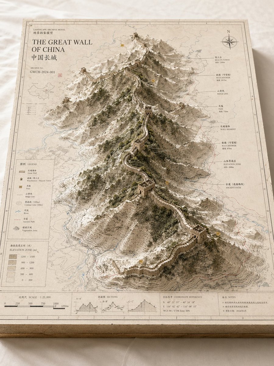
- Prompt included
- Model and format preset
- Free template
The prompt behind this image
Copy the exact prompt behind Landscape Archive Model Map, or open it in the studio and make it yours.
Based on 【{argument name="theme" default="theme"}】, create a highly finished, high-quality visual suitable for serialized publication: a "Landscape Archive Model" visual. This is not an ordinary map, nor an ordinary landscape illustration or city rendering — it is a high-end archival visual that combines a "2D map blueprint + 3D solid area model + professional annotation system + museum-display feel." The image should look like a real geographic research model, an urban-planning scale model, an architectural proposal model, or a worldbuilding exhibit — with a professional, restrained, precise, tactile, premium quality. 【Base Settings】 Theme: 【{argument name="theme content" default="theme, e.g. a volcanic crater lake / Guangzhou / Chongqing's mountain city / an island city / ancient city ruins / post-apocalyptic ruins / a fantasy continent / a game's main city"}】 Theme type: 【natural landscape / urban space / hybrid landscape】 Core subject: 【{argument name="core subject" default="core subject, e.g. a volcanic crater, a canyon, mountains, a lake, a CBD, an old town, a cluster of landmarks, an island city, a cluster of ruins, a main city area"}】 Content focus: 【content focus, e.g. terrain elevation differences / city landmarks / road-network structure / water-system relationships / the relationship between nature and the city / showcase of a worldbuilding collection】 Style direction: 【style direction, e.g. geographic-survey style, paper-cut model style, architectural-proposal style, museum-archive style, urban-planning style, game-artbook style】 Primary color: 【primary color, e.g. off-white, light gray, parchment white, sand, snow white】 Secondary color: 【secondary color, e.g. earthy brown, rock gray, cool gray, pale blue, moss green】 Accent color: 【accent color, e.g. thin black lines, red route lines, blue hydrological lines, yellow numbered markers】 Aspect ratio: 【aspect ratio, e.g. 16:9 landscape / 3:4 portrait / 4:5 portrait / 1:1 square】 【Image Structure】 The main subject of the image is a rectangular map-model board placed on a clean desktop or a white cloth surface. The base plate has real thickness, with a visible cross-section structure at the edges, like an exquisite map slice or model base. The map surface is covered with a clear but restrained layer of information, including contour lines, road networks, hydrological lines, zoning boundaries, geographic textures, a sense of coordinates, light annotations, and a drafting-style border. At the center of the map, or slightly off-center, a three-dimensional main model "grows" up out of the two-dimensional map, becoming the visual core of the whole image. If the 【theme type】 is a natural landscape: The subject can be made up of mountains, canyons, a volcanic crater, a lake, a basin, an island, a glacier, a fault line, a coastline, etc., emphasizing terrain elevation differences, layered contour structures, rock-face textures, and natural undulation. If the 【theme type】 is urban space: The subject can be made up of a core urban district, a CBD, an old-town block, a cluster of landmark buildings, a waterfront area, road-network nodes, bridges, waterways, parks and green space, etc., emphasizing building massing, city recognizability, spatial layering, and planning structure. If the 【theme type】 is a hybrid landscape: It should integrate both natural terrain and the built environment at once — for example a mountain city, an island city, ancient city ruins, post-apocalyptic ruins, a fantasy main city, a sci-fi base, etc. — so that the natural landscape and urban structure together form the core visual. 【Detail Requirements】 - The model surface should retain the feel of a map blueprint and professional information design - Terrain areas should have contour lines, slope layering, and depressions and undulations - Building areas should have a sense of massing, block relationships, and clear layering - Water areas should be rendered in a desaturated pale blue - Green spaces, forests, parks, and mountains can be rendered in moss green or desaturated green - Road networks, paths, transportation axes, or exploration routes can be shown with thin lines, but should not dominate the composition - If there are landmark buildings or key structures, they should have clear recognizability - If there are fantasy, sci-fi, or game-setting elements, they should retain the feel of an archival model and blueprint display rather than becoming a pure scene illustration 【Annotation System】 The edges of the map board need a complete but restrained set of annotation modules, including: - Outer and inner border lines - A scale bar - A legend area - A title area - An archive number - Index markers - Annotation labels - Concise symbol explanations The text does not need to be fully legible, but overall it must present a real, clear, precise, orderly, archival layout structure. 【Composition and Camera】 Use an oblique overhead isometric or diorama-style composition, with the camera observing the whole model board from about 30 to 45 degrees above, so the viewer can see the map plane, the height of the three-dimensional subject, the edge thickness, and the annotation area all at once. The visual focus should be concentrated on the central subject model, with a reading path of: first the core subject, then the surrounding terrain / road network / water system / block information, and finally the legend, scale bar, and annotation area. 【Materials and Lighting】 Overall, it should have a genuine model-photography texture: - Paper texture - A map-print feel - A paper-cut or diorama-model feel - The texture of an architectural model or terrain slice - Soft natural light - Fine, realistic shadows - A clean background - Desaturated, premium, restrained Avoid a cartoonish look, a cheap game-UI feel, excessive clutter, or excessive flashiness — the focus should be on the unified visual of "map base plate + three-dimensional subject + professional annotation system." The final result should look like a landscape archive model image that could be used for geography popular science, urban research, an architectural proposal, a cultural-tourism visual feature, a worldbuilding art collection, or a premium series cover.
How to use Landscape Archive Model Map in 3 steps
- 1
Open
The prompt is already in the box next to the preview, with the template's model and format selected.
- 2…a portrait of your subject in softgolden-hour light, 85mm…
Personalize
Edit the subject and creative details for your destination.
- 3Generate
Generate
Press Generate — your image is created in PicX Studio, so you can compare it with the original and refine one variable at a time.
More like this
Templates with the same subject, style or setup. Open one to see its prompt.
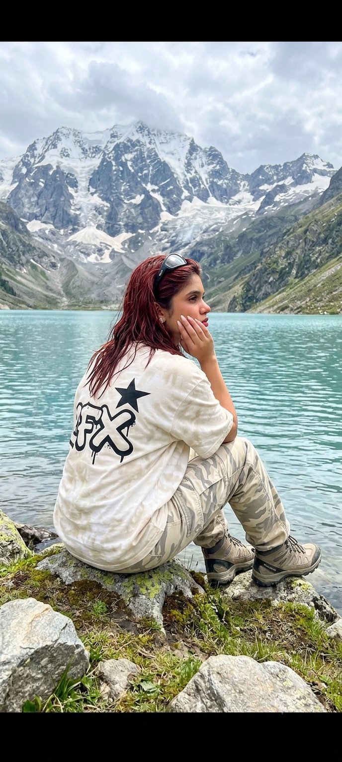
Teen Girl Alpine Lake Mountain View
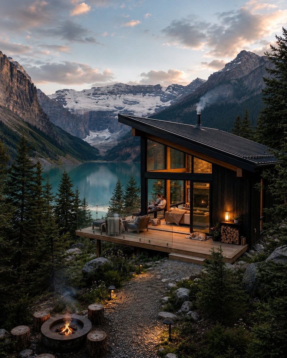
Mountain Lake Sunset Landscape

Ghibli Final Takeoff Field
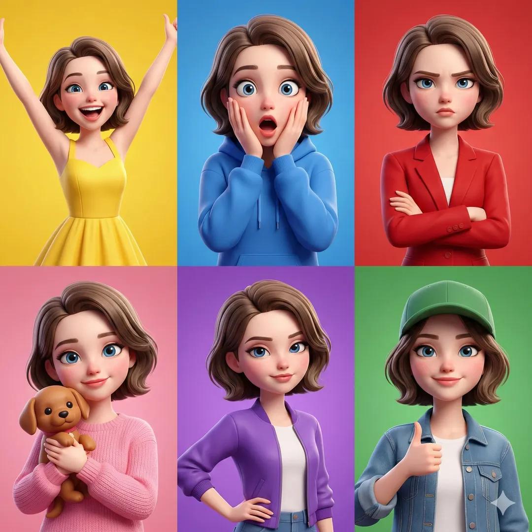
Ghibli Rainy Tram Interior
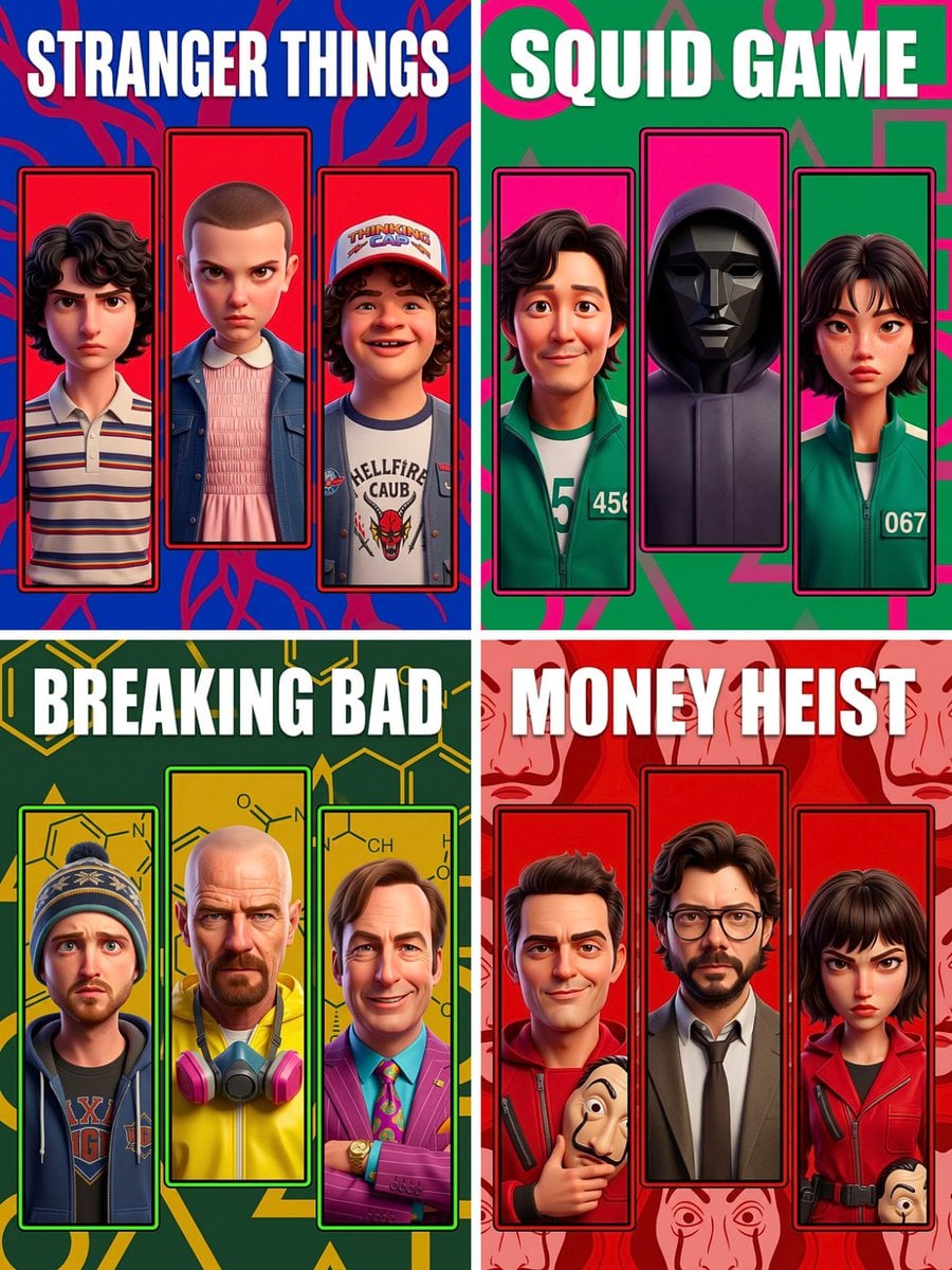
Ghibli Star Observatory

Ghibli Tiny House On Back

Ghibli Lantern River Festival
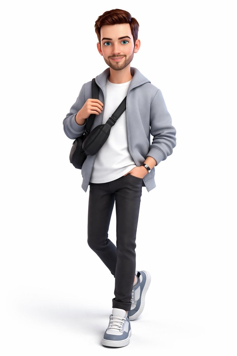
Ghibli Whale Bone Beach
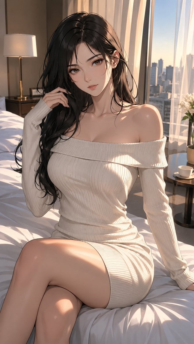
Ghibli Abandoned Amusement
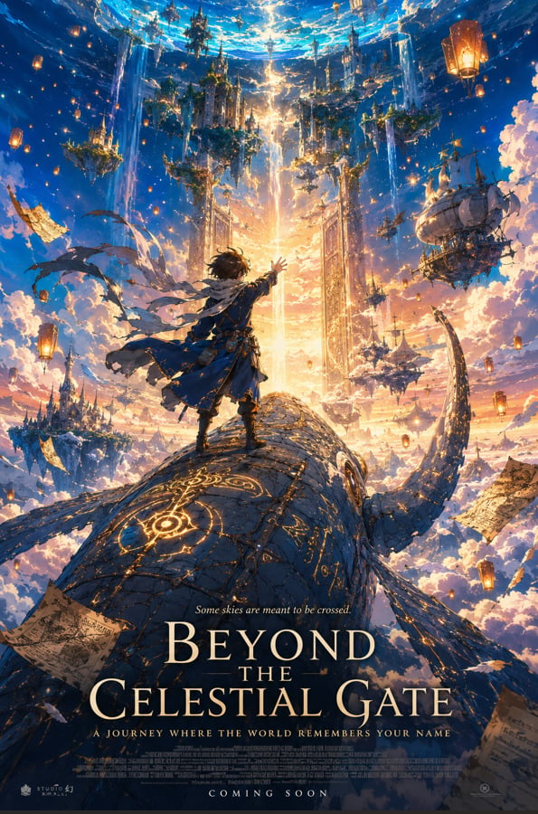
Ghibli Shadow Puppet Theater
Ghibli Bakery Morning Rush
Ghibli Paper Crane Flock
Make it yours
Landscape Archive Model Map works as-is. These are the safest ways to change it without losing the look.
Change one field
Copy a single group, rewrite it, and generate again so you can see what that field is doing.
Keep the frame, change the subject
Hold the composition and light of Landscape Archive Model Map, then swap wardrobe, props or the person for a new take.
| If the result… | Why | Fix |
|---|---|---|
| The result drifts from the preview | Too many fields changed at once. | Reuse Landscape Archive Model Map as-is first, then change one group — subject, light, or setting. |
| The model over-stylizes the scene | The prose prompt leaves finish and camera underspecified. | Add one camera or lighting sentence and stay on GPT Image 2. |
More GPT Image 2 templates
Other prompts made for GPT Image 2.

Six VTuber Japanese Logo Sheet
Realistic Portrait of Woman and Deer

The Vista Modular Condo Poster

AI Model Routing Comparison Infographic
2.5D Anime Art Board

Isometric Productivity Desk Scene
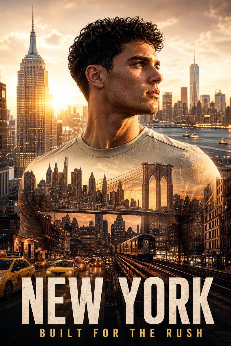
New York Double Exposure Poster
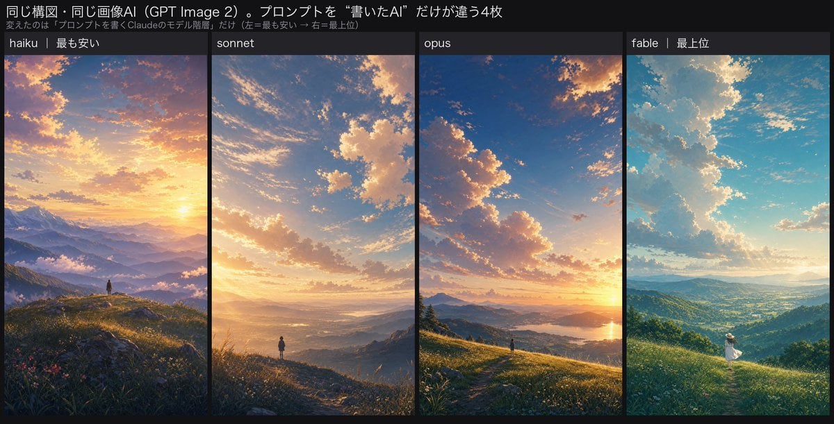
Four-Panel AI Landscape Comparison
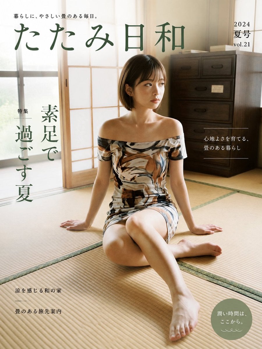
Japanese Tatami Lifestyle Magazine Cover

NESCAFÉ Coffee Map Poster
More image prompts
Fresh picks from across the catalog.
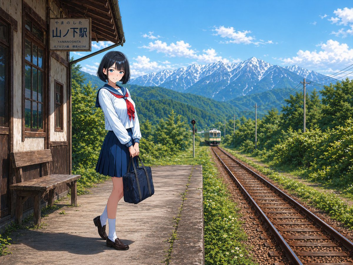
Gpt2 Social Media Post Rural Station Schoolgirl Scene

8K Portrait Photography with Cool Tones and Shallow Depth
Toddler Version of a Person in 3d Pixar
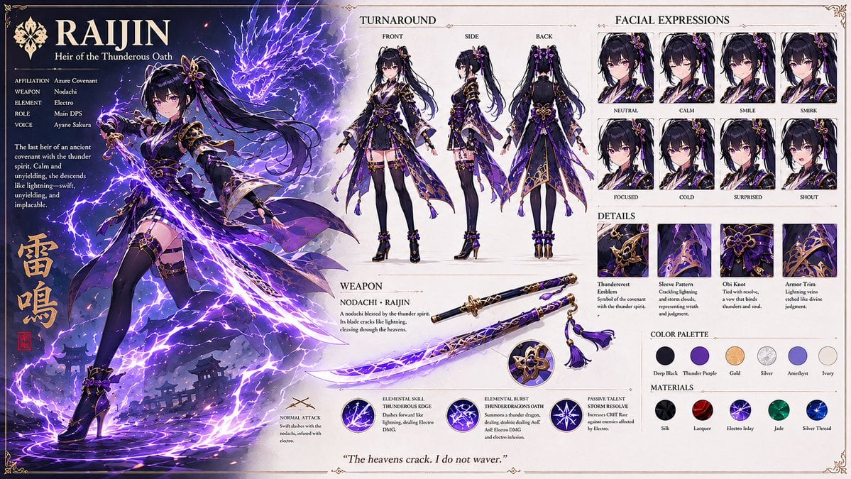
Anime RPG Character Design Sheet
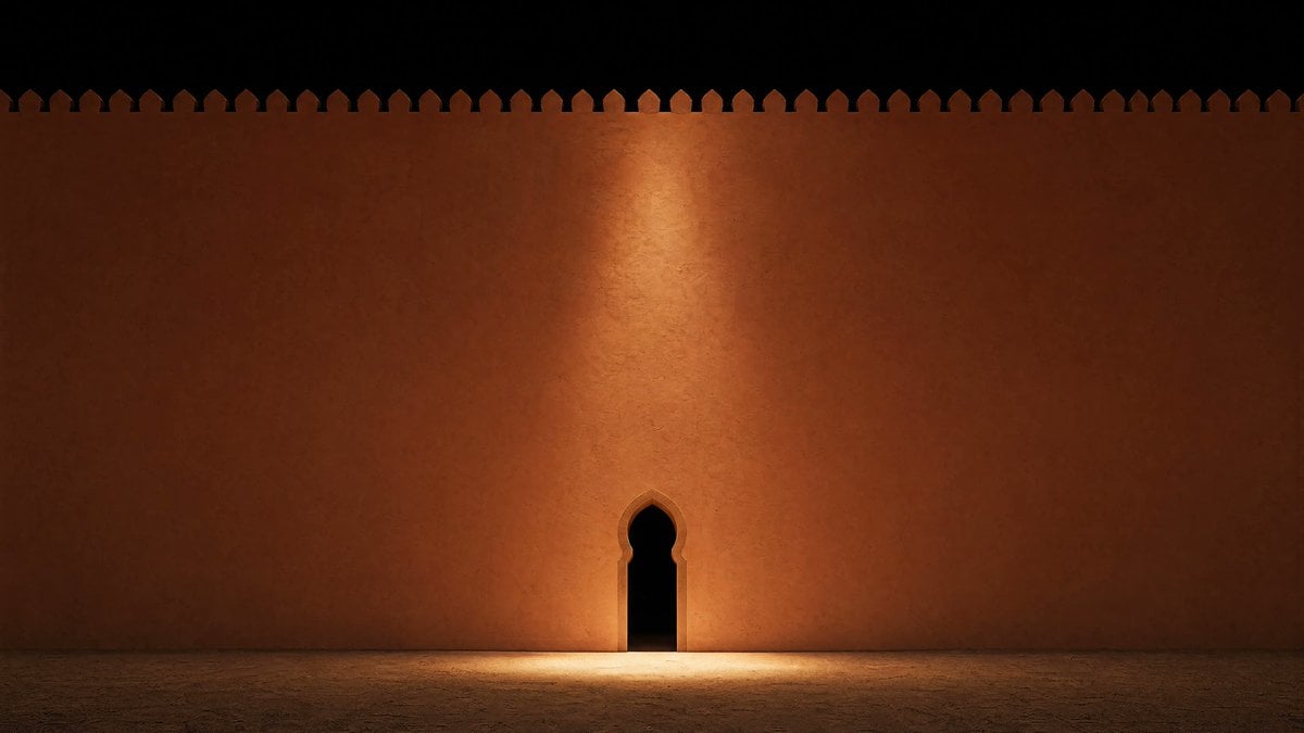
Minimalist Moorish Wall at Night
Google Maps to Illustration Transformation

System Prompt for Generating Image Prompts
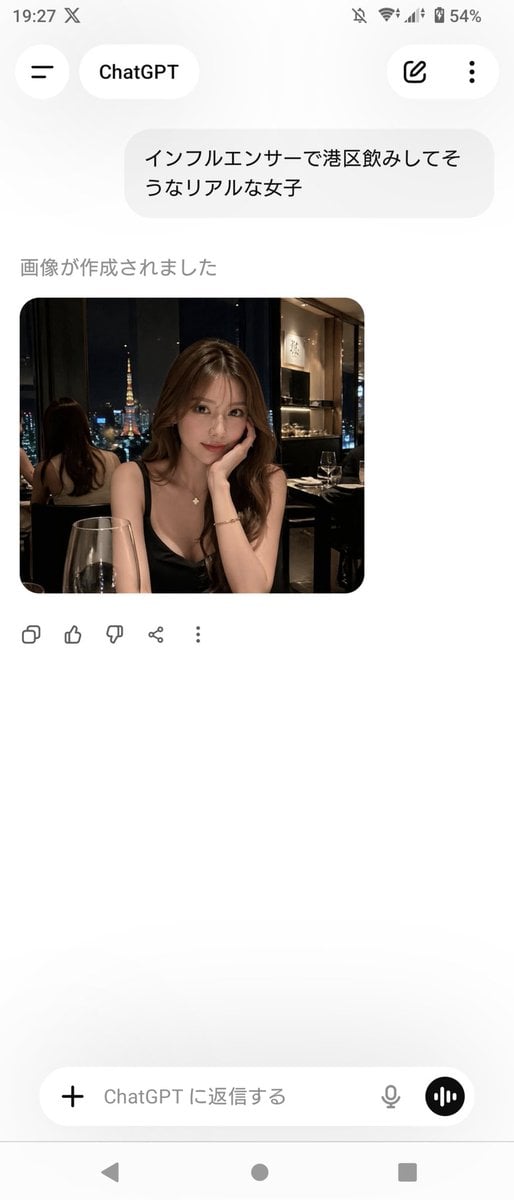
ChatGPT App Screenshot With Generated Portrait
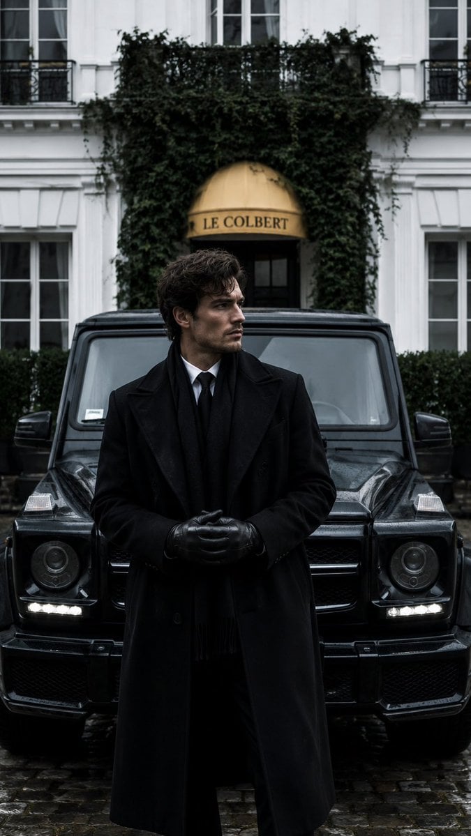
Monochrome Luxury Editorial Portrait
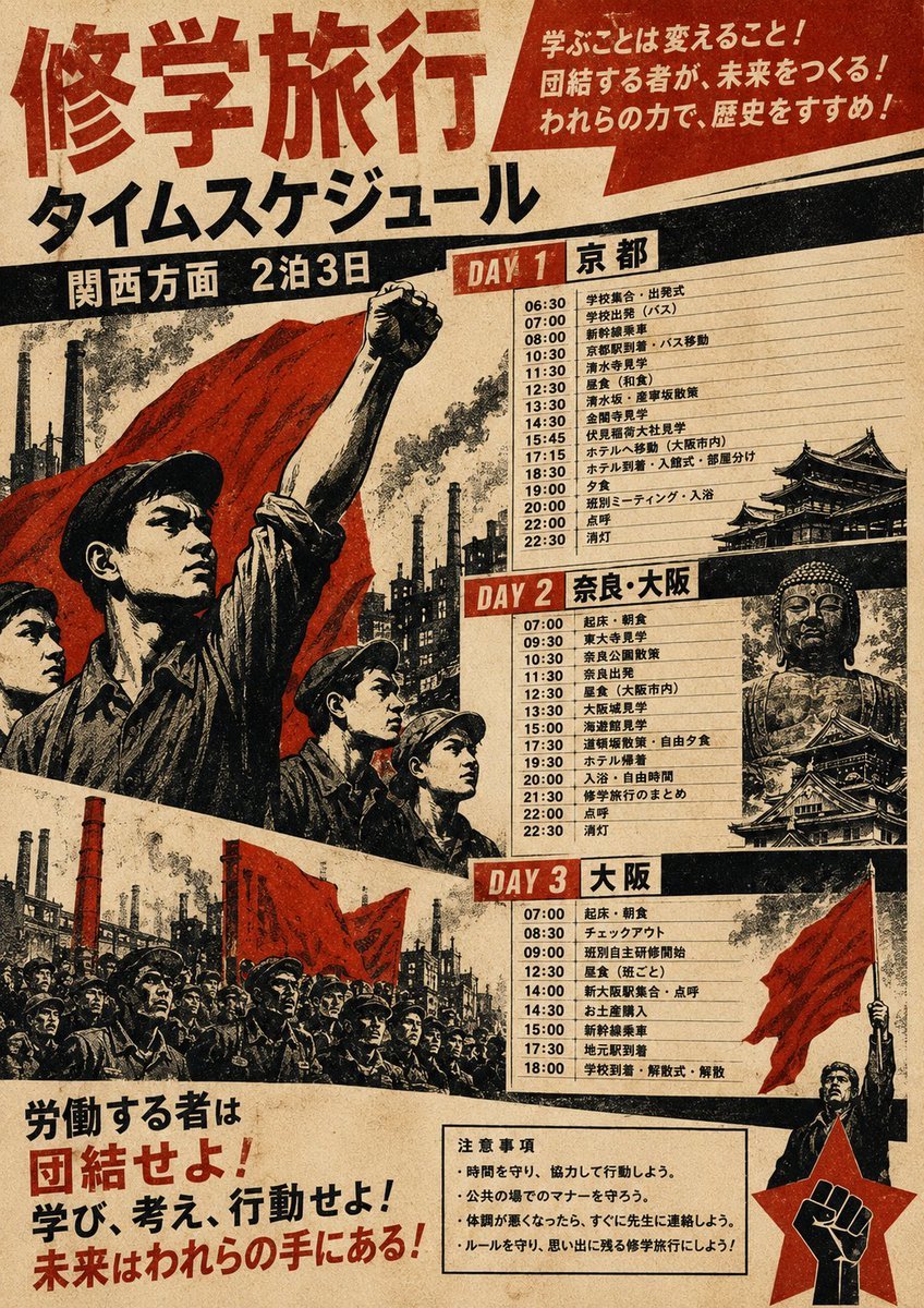
Propaganda School Trip Schedule Poster
Browse template categories
Landscape Archive Model Map questions
How do I use the Landscape Archive Model Map template?
Add your photo if the template asks for one, edit the prompt if you like — the template's model and format are already selected — and press Generate. Your version opens in PicX Studio.
Can I customize the Landscape Archive Model Map template?
Yes. You can change the subject, setting, lighting, mood, format, and available model controls before creating your image.
Is the Landscape Archive Model Map template free?
Opening and editing this template is free. Generating uses credits, shown on the Generate button when you are signed in.
Which AI model should I use?
Start with GPT Image 2, which is the model associated with this template. You can compare another compatible model for a different finish.
Looking for something else? Browse all templates.
Your photo, any look
Thousands of ready templates for every top image and video model, from one credit balance.