- type
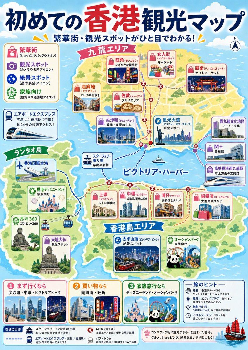
- colorful illustrated tourist map poster
- language
- Japanese
- headline
- {argument name="headline text" default="初めての香港観光マップ"}
- subheadline
- 繁華街・観光スポットがひと目でわかる!
- style
- bright friendly Japanese travel-magazine design, hand-drawn vector map, rounded cards, cute icons, thick outlines, pastel sea, green islands, lively but clean layout, highly legible print poster
- destination
- {argument name="destination" default="Hong Kong"}
- view
- simplified illustrated regional map across blue ocean with three main landmasses and dotted transit routes
- count
- 4
- labels
- 九龍エリア, 香港島エリア, ランタオ島, ビクトリア・ハーバー
- routes
- red dotted MTR route with station dots and transfer marks, purple dotted route around the harbor, blue dashed ferry/airport express routes, small boat icons on the water
- compass
- small north compass in the top right
- position
- upper left
- title
- icon legend
- count
- 4
- items
- 繁華街 shopping bag neon icon, 観光スポット camera and icon mark, 絶景スポット starry night icon, 家族向け Ferris wheel and green icon
- position
- left middle
- title
- エアポートエクスプレス
- description
- airport to Hong Kong by train, about 24 minutes, with white-and-blue train illustration
- total count
- 20
- count
- 6
- cards
- 旺角(モンコック) neon shopping district, 女人街(レディース街) market, 廟街(テンプルストリート) night market, 油麻地 local streets, 佐敦(ジョーダン) dim sum area, 尖沙咀(チムサーチョイ) sightseeing and night-view center
- count
- 4
- cards
- 星光大道 avenue of stars and skyline, 西九龍文化地区 art and culture, M+ art museum, 高鉄香港西九龍駅 high-speed rail station
- count
- 5
- cards
- 上環 old streets, 中環(セントラル) finance and sightseeing base, 湾仔 nostalgic gourmet area, 銅鑼湾 large shopping area, 太平山頂(ビクトリア・ピーク) night-view spot with tram
- count
- 5
- cards
- 香港国際空港, 香港ディズニーランド family destination, 昂坪360 ropeway, 天壇大仏 scenic spot, スター・フェリー乗り場 harbor transport
- position
- bottom row
- count
- 4
- panels
- 1 まず行くなら: 尖沙咀・中環・ビクトリアピーク with skyline and tram, 2 買い物なら: 銅鑼湾・旺角 with SOGO and neon street, 3 家族旅行なら: ディズニーランド・オーシャンパーク with castle, panda, coaster, 旅のヒント: practical icons for Octopus card, Wi‑Fi, weather, distance and travel tips
- position
- bottom edge
- count
- 4
- items
- Star Ferry solid blue line, Airport Express blue dashed line, MTR red dotted line, bus/tram small gray icons
- decorative details
- clouds at the top, yellow accent rays near headings, miniature skyline photos inside rounded rectangles, small red sailing junk boat at bottom right, soft drop shadows, cheerful tourist-brochure atmosphere
- accuracy instruction
- Create an attractive simplified tourism infographic rather than a geographically precise map; keep the labels in Japanese and make every major label readable.
- color palette
- {argument name="color palette" default="sky blue ocean, sandy yellow land, leafy green parks, red and navy headline, pink and blue attraction cards"}
- poster mood
- {argument name="poster mood" default="welcoming first-time visitor guide"}


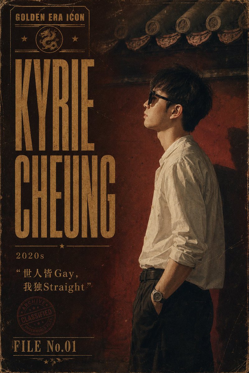
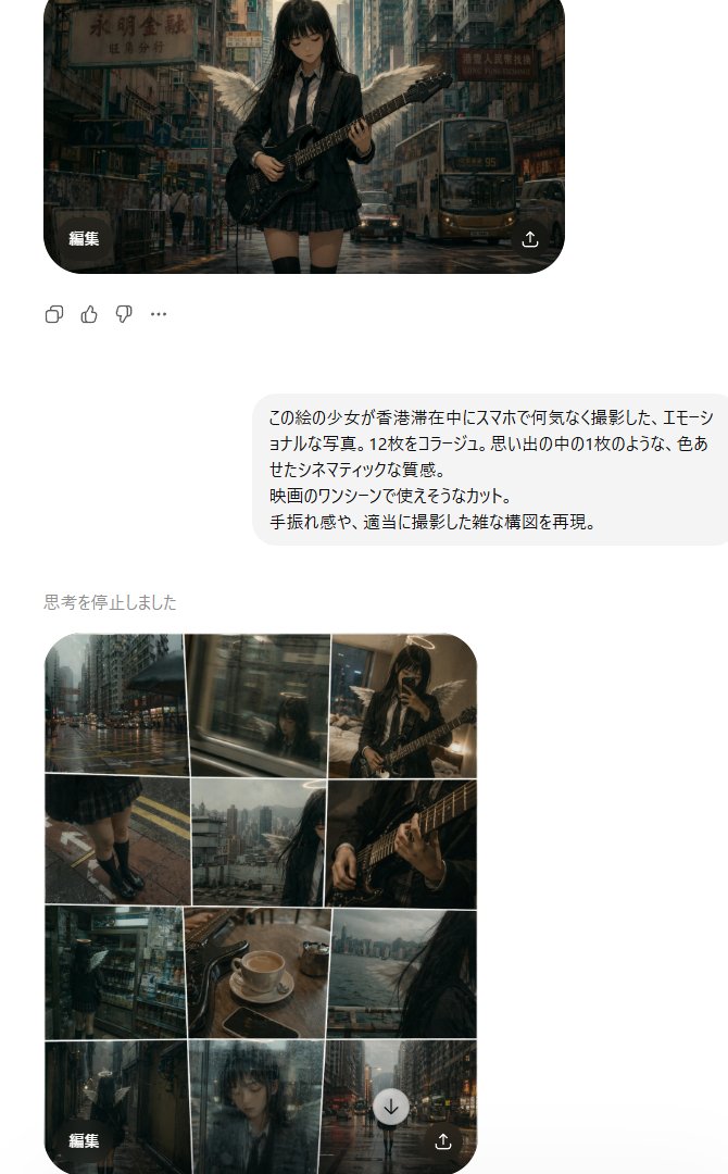
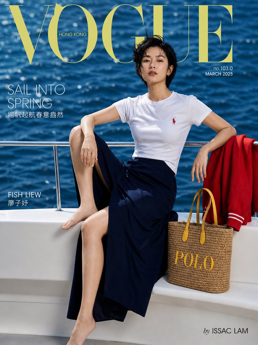
![Photorealistic Hong Kong Retro Portrait Prompt — Create a Photorealistic Hong Kong retro portrait with authentic 1990s film look.
Use image[0] as face reference](https://pbs.twimg.com/media/G77bHKzagAQpCjZ.jpg)



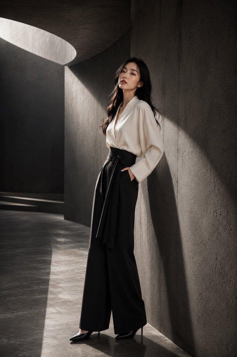
![90s Hong Kong Cinematic Retro Portrait — [인물] 이미지 1 [싸인] 우측하단에는 Meta가 운영하는 Threads 로고가 작게 위치하고, 그 위에 흰색 필기체로 "CHAse"라고 싸인처럼 작게 적혀 있다.
[인물의 포즈 및 표정]
포즈 및 구도: 신](https://cms-assets.youmind.com/media/1787645605019_wtfgyg_HObkG3ba4AEBGxJ-300x537.jpg)


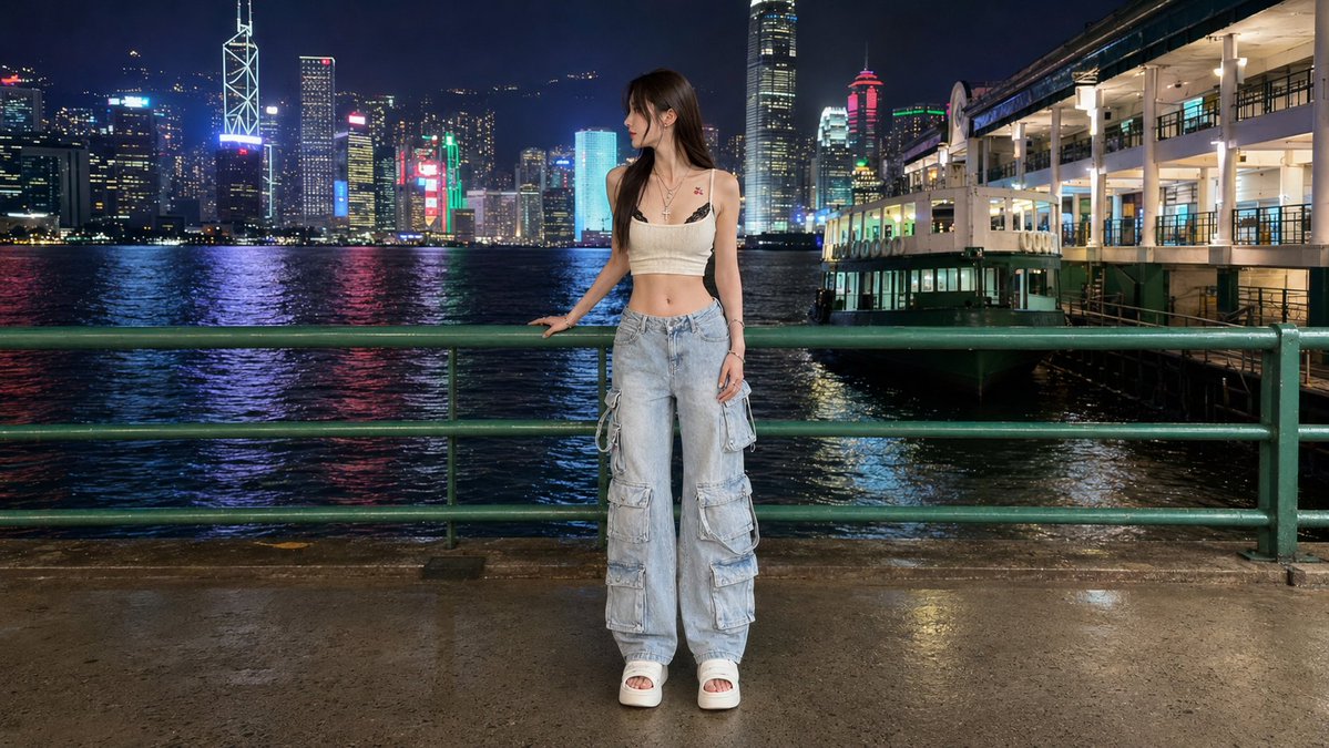




![Minimalist Flat Vector Travel Poster — Premium minimalist flat-vector travel poster for {argument name="city name" default="[CITY_NAME]"}, 3:4 vertical format.](https://cms-assets.youmind.com/media/1787917359711_3ug846_HQX205cbMAA6F6S-300x400.jpg)

















![New Year's Osechi Dish Advertisement Key Visual Generation Prompt — キャラクター名:[☆ここに{argument name="キャラクター名" default="キャラ名"}をセット☆]
広告・ポスター・宣材用キービジュアル生成プロンプト
このプロン](https://pbs.twimg.com/media/G9kr3y4awAAKYBK.jpg)