How do I use the Topographic Country Cartography Art Print template?
Edit the prompt in the box under the preview — the template's model and format are already selected — and press Generate. Your version appears right on this page.
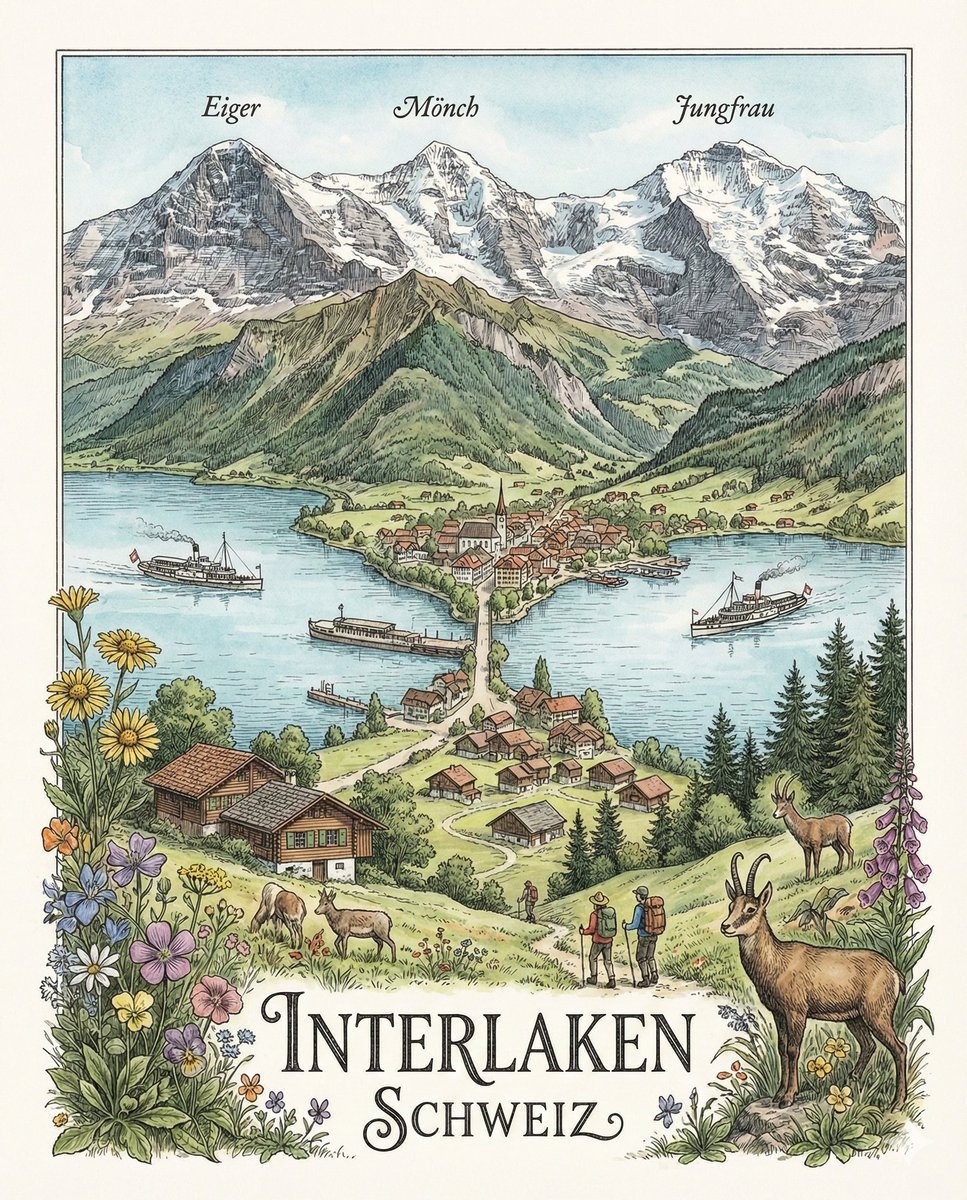
A sophisticated art print prompt inspired by Swiss graphic design and topographic mapping, focusing on geographic identity and minimalist typography.

Create a sophisticated 4:5 vertical contemporary country art print inspired by Swiss graphic design, topographic maps, modern editorial posters, and premium outdoor cartography. MAIN CONCEPT: Represent {argument name="country" default="[COUNTRY]"} through its topography, coordinates, and geographic identity rather than landmarks or tourist imagery. BACKGROUND: Clean warm-white / very light ivory paper with subtle tactile grain. MAP COMPOSITION: Use 2–3 cropped sections of highly detailed black-and-gray topographic contour maps representing important geographic regions of {argument name="country_name" default="[COUNTRY]"}. Arrange them asymmetrically with generous white space. Place one large translucent circular accent over the most significant geographic location. The circle should feel like a modern cartographic location marker rather than a normal map pin. TYPOGRAPHY: Across the center, place an enormous bold condensed sans-serif title: {argument name="country_title" default="[COUNTRY]"} The typography should partially overlap the contour maps, creating a striking editorial composition. Add small technical geographic information around the poster: [LATITUDE]° [LONGITUDE]° LOCATION: [CITY / REGION] ELEVATION: [ELEVATION] M FIRST EDITION: [YEAR] Include a tiny minimalist globe / compass / geographic coordinate symbol in one corner. Add a very small secondary typographic element: [COUNTRY] / TOPOGRAPHIC STUDY / No. 01 COLOR PALETTE: Mostly black, white, and soft gray with one bold {argument name="accent color" default="muted accent color"} — deep red, burnt orange, forest green, cobalt blue, or ochre. Use the accent only for the circular geographic markers. DESIGN LANGUAGE: Swiss International Typographic Style × contemporary cartography × vintage topographic survey × minimalist editorial design × luxury outdoor magazine. IMPORTANT: The contour lines must be dense, organic, geographically believable, and beautifully detailed. They should become the main visual texture of the artwork. No flags • no tourist landmarks • no illustrations • no photographs • no decorative borders • no excessive text • no gradients • no clutter. MOOD: intelligent • geographic • modern • adventurous • architectural • collectible • premium. FINAL PRESENTATION: Show the print as a clean gallery/product photograph, either pinned or hanging against a simple architectural wall, with soft directional lighting and a subtle natural shadow.
Create a sophisticated 4:5 vertical contemporary country art print inspired by Swiss graphic design, topographic maps, modern editorial posters, and premium outdoor cartography. MAIN CONCEPT: Represent {argument name="country" default="[COUNTRY]"} through its topography, coordinates, and geographic identity rather than landmarks or tourist imagery. BACKGROUND: Clean warm-white / very light ivory paper with subtle tactile grain. MAP COMPOSITION: Use 2–3 cropped sections of highly detailed black-and-gray topographic contour maps representing important geographic regions of {argument name="country_name" default="[COUNTRY]"}. Arrange them asymmetrically with generous white space. Place one large translucent circular accent over the most significant geographic location. The circle should feel like a modern cartographic location marker rather than a normal map pin. TYPOGRAPHY: Across the center, place an enormous bold condensed sans-serif title: {argument name="country_title" default="[COUNTRY]"} The typography should partially overlap the contour maps, creating a striking editorial composition. Add small technical geographic information around the poster: [LATITUDE]° [LONGITUDE]° LOCATION: [CITY / REGION] ELEVATION: [ELEVATION] M FIRST EDITION: [YEAR] Include a tiny minimalist globe / compass / geographic coordinate symbol in one corner. Add a very small secondary typographic element: [COUNTRY] / TOPOGRAPHIC STUDY / No. 01 COLOR PALETTE: Mostly black, white, and soft gray with one bold {argument name="accent color" default="muted accent color"} — deep red, burnt orange, forest green, cobalt blue, or ochre. Use the accent only for the circular geographic markers. DESIGN LANGUAGE: Swiss International Typographic Style × contemporary cartography × vintage topographic survey × minimalist editorial design × luxury outdoor magazine. IMPORTANT: The contour lines must be dense, organic, geographically believable, and beautifully detailed. They should become the main visual texture of the artwork. No flags • no tourist landmarks • no illustrations • no photographs • no decorative borders • no excessive text • no gradients • no clutter. MOOD: intelligent • geographic • modern • adventurous • architectural • collectible • premium. FINAL PRESENTATION: Show the print as a clean gallery/product photograph, either pinned or hanging against a simple architectural wall, with soft directional lighting and a subtle natural shadow.
Edit the prompt in the box under the preview — the template's model and format are already selected — and press Generate. Your version appears right on this page.
Yes. You can change the subject, setting, lighting, mood, format, and available model controls before creating your image.
Opening and editing this template is free. Generating uses credits, shown on the Generate button when you are signed in.
Start with GPT Image 2, which is the model associated with this template. You can compare another compatible model for a different finish.
Follow a topic to a crawlable collection of related PicX Studio templates.