
Satellite Map of Big Ben Area
This prompt generates a realistic labeled satellite-style aerial map centered on Big Ben and the Palace of Westminster, useful for map comparisons, location visuals, and geographic context images.
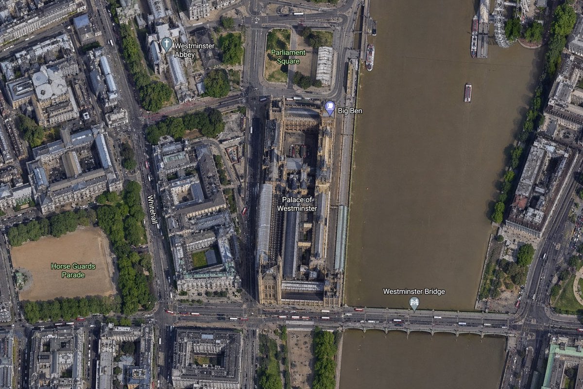
- Prompt included
- Model and format preset
- Free template
The prompt behind this image
Copy the exact prompt behind Satellite Map of Big Ben Area, or open it in the studio and make it yours.
A high-resolution top-down satellite map view of central {argument name="city" default="London"}, focused tightly on the area around {argument name="landmark" default="Big Ben"} and the Palace of Westminster beside the River Thames. Show a realistic aerial orthographic perspective like a modern digital map or satellite layer, with detailed rooftops, streets, trees, shadows, and brownish river water. Place the long Palace of Westminster complex vertically near the center-right, directly along the west bank of the river, with Big Ben at the northeast corner of the palace near the river edge. A bridge labeled {argument name="bridge name" default="Westminster Bridge"} crosses horizontally near the bottom of the frame from left to right over the river. Include 6 visible map labels total: {argument name="label 1" default="Westminster Abbey"}, {argument name="label 2" default="Parliament Square"}, Big Ben, Palace of Westminster, Westminster Bridge, and Horse Guards Parade. Also show Whitehall as a labeled road running vertically on the left side of the palace area. Surrounding details should include Westminster Abbey in the upper left quadrant, Parliament Square above the palace, Horse Guards Parade as a large sandy rectangular ground in the lower left quadrant, dense city blocks and roads on the left half, the River Thames occupying the full right side, embankments on both sides, a few boats on the river, and tree-lined streets and parks. Use natural satellite-image colors, crisp cartographic label overlays, and the look of a zoomed-in online maps screenshot.
How to use Satellite Map of Big Ben Area in 3 steps
- 1Upload ImagePNG, JPG or paste
Add your photo
Upload the photo the template builds on. The prompt, model and format are already set.
- 2…a portrait of your subject in softgolden-hour light, 85mm…
Personalize
Edit the subject and creative details for your destination.
- 3Generate
Generate
Press Generate — your image is created in PicX Studio, so you can compare it with the original and refine one variable at a time.
More like this
Templates with the same subject, style or setup. Open one to see its prompt.
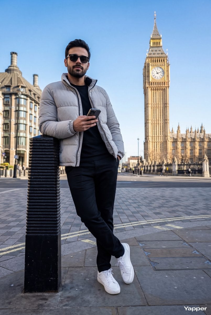
Hyper-Realistic Street Shot with Big Ben
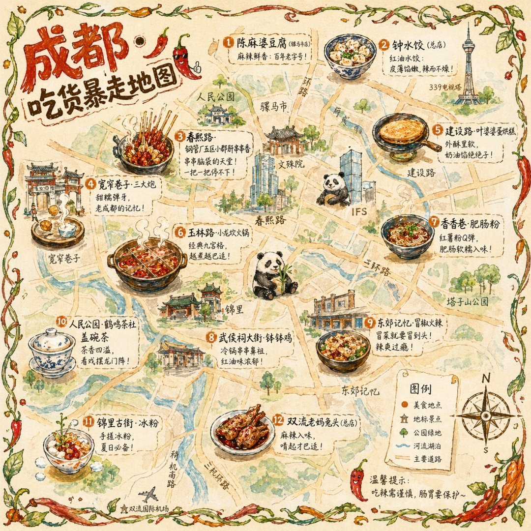
Gpt2 Illustrated City Food Map

Satellite Map Medieval City
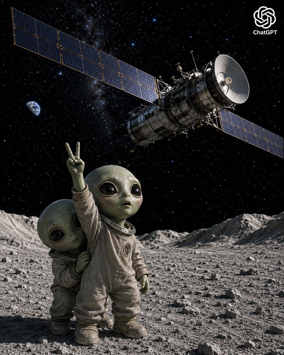
Lunar Alien Babies and Satellite

Photo of a cute ball-shaped version of a, with big adorable over-sized
A mini chibi version of the character in the uploaded image, with a big

A cute stylized 3D cartoon character boy/girl with big expressive eyes

A stylized 3D cartoon character of a with big expressive eyes

A stylized 3D cartoon character of a young boy with big expressive eyes
Princess Face Big Head Art
Binary Walkable Area Mask
Cosmic Big Bang Snooze Comic
Make it yours
Satellite Map of Big Ben Area works as-is. These are the safest ways to change it without losing the look.
Change one field
Copy a single group, rewrite it, and generate again so you can see what that field is doing.
Keep the frame, change the subject
Hold the composition and light of Satellite Map of Big Ben Area, then swap wardrobe, props or the person for a new take.
| If the result… | Why | Fix |
|---|---|---|
| The result drifts from the preview | Too many fields changed at once. | Reuse Satellite Map of Big Ben Area as-is first, then change one group — subject, light, or setting. |
| The model over-stylizes the scene | The prose prompt leaves finish and camera underspecified. | Add one camera or lighting sentence and stay on GPT Image 2. |
More GPT Image 2 templates
Other prompts made for GPT Image 2.

Six VTuber Japanese Logo Sheet
Realistic Portrait of Woman and Deer

The Vista Modular Condo Poster

AI Model Routing Comparison Infographic

2.5D Anime Art Board

Isometric Productivity Desk Scene
New York Double Exposure Poster
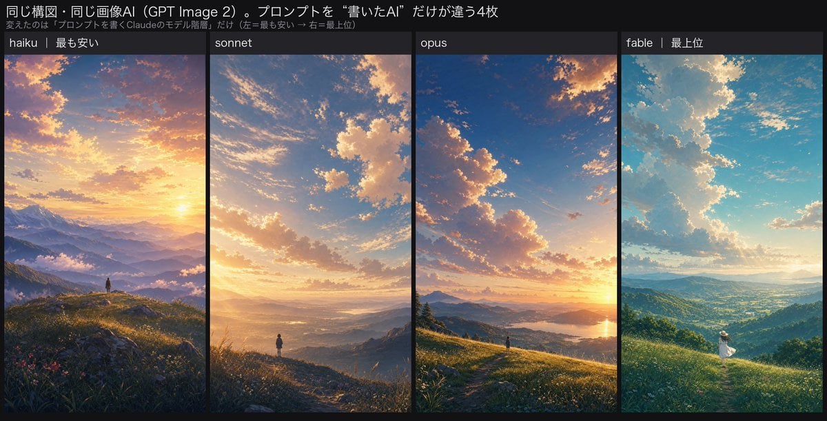
Four-Panel AI Landscape Comparison

Japanese Tatami Lifestyle Magazine Cover

NESCAFÉ Coffee Map Poster
More image prompts
Fresh picks from across the catalog.
Cinematic Winter Portrait Photoshoot Prompt
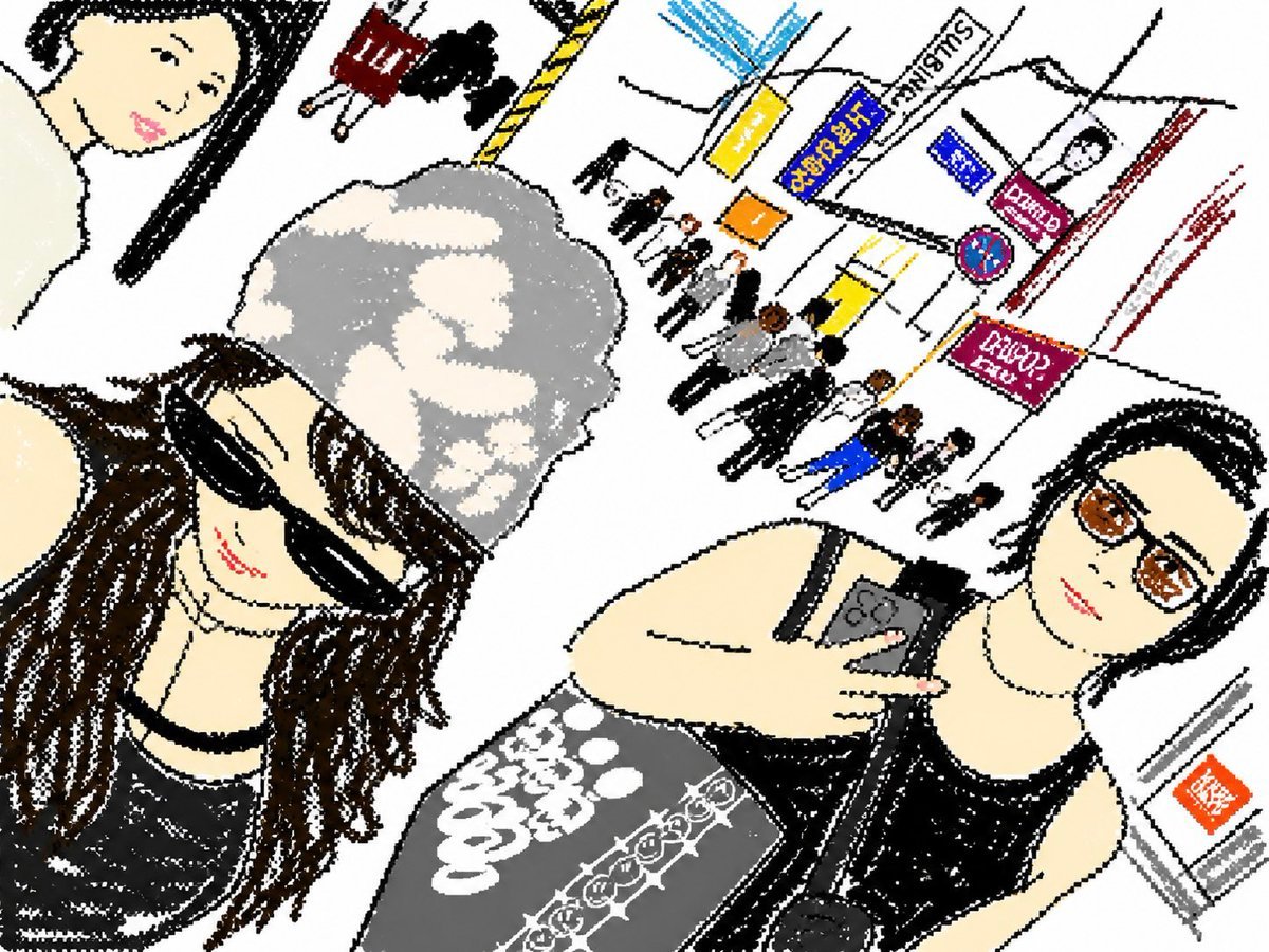
Cute Tilted Street Selfie Illustration
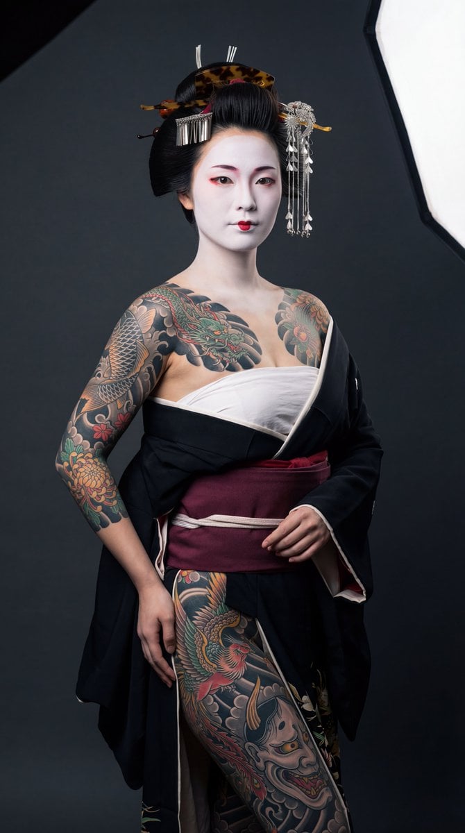
High-Contrast Geisha Irezumi Portrait Prompt

Cute Morning Greeting Figure Sticker

Wide-Angle Car Selfie with Panoramic Sunroof
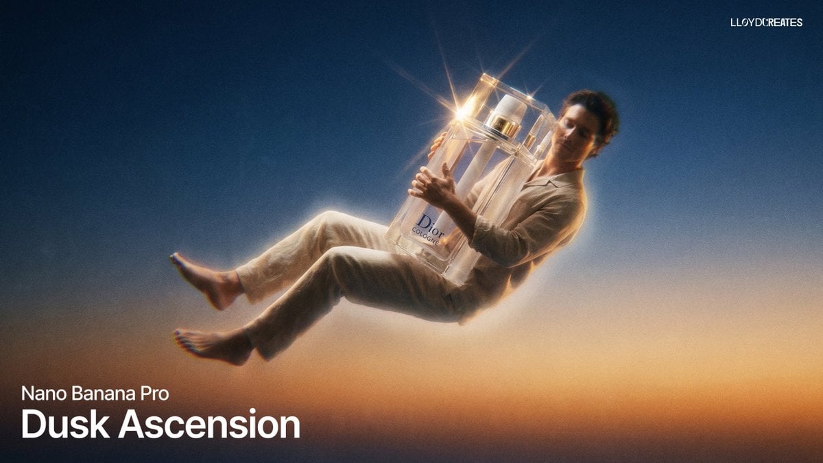
Dusk Ascension JSON Prompt for Nano Banana Pro
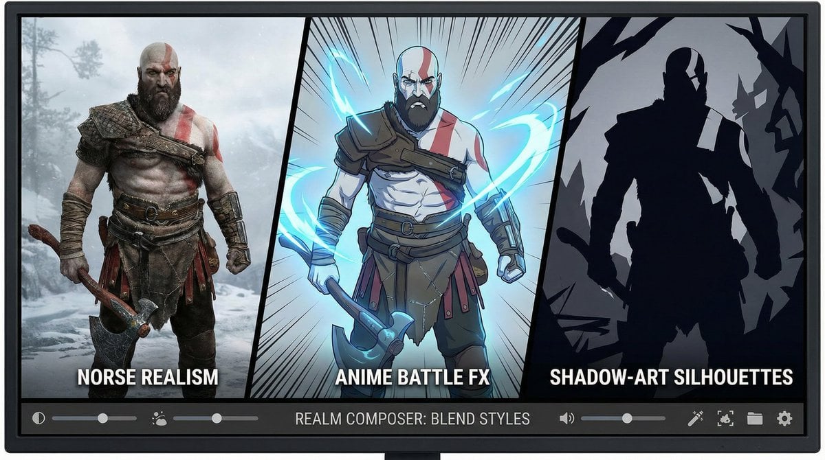
Kratos in Three Blended Styles
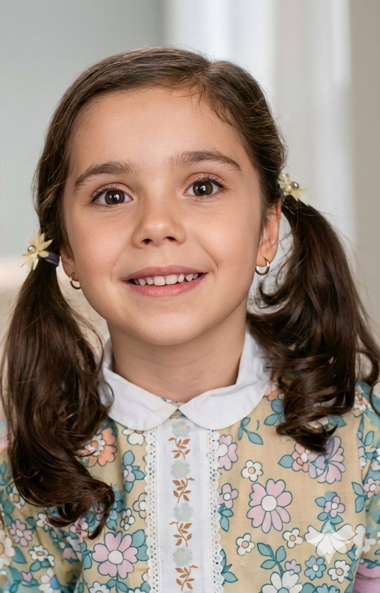
Vintage Photo Restoration to Modern Portrait Prompt
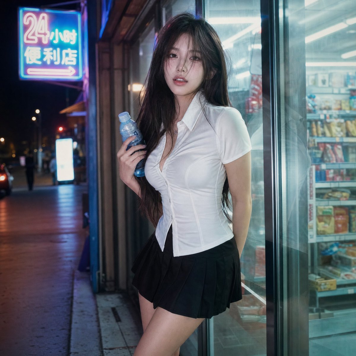
Cinematic Night Portrait Photography
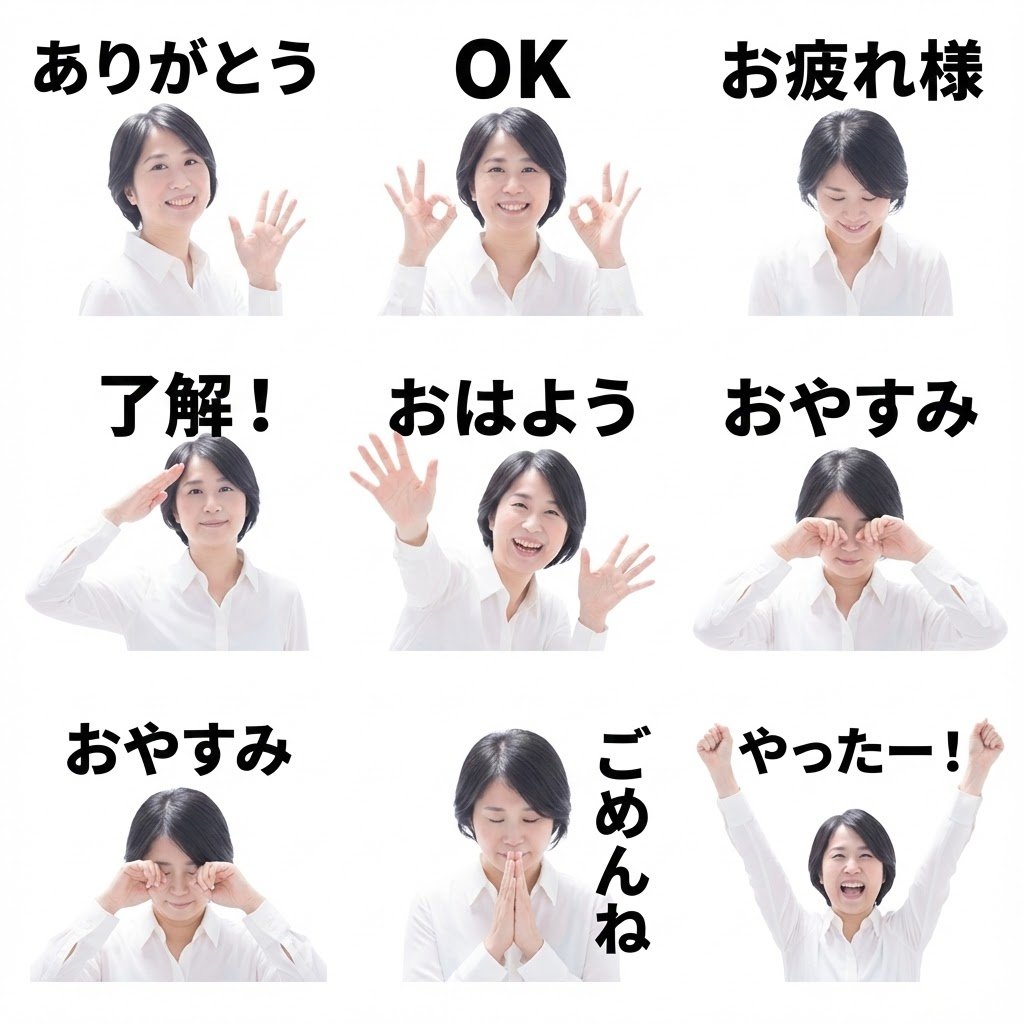
8 LINE stickers from a person image
Browse template categories
Satellite Map of Big Ben Area questions
How do I use the Satellite Map of Big Ben Area template?
Add your photo if the template asks for one, edit the prompt if you like — the template's model and format are already selected — and press Generate. Your version opens in PicX Studio.
Can I customize the Satellite Map of Big Ben Area template?
Yes. You can change the subject, setting, lighting, mood, format, and available model controls before creating your image.
Is the Satellite Map of Big Ben Area template free?
Opening and editing this template is free. Generating uses credits, shown on the Generate button when you are signed in.
Which AI model should I use?
Start with GPT Image 2, which is the model associated with this template. You can compare another compatible model for a different finish.
Looking for something else? Browse all templates.
Your photo, any look
Thousands of ready templates for every top image and video model, from one credit balance.